These Administrative Alternates for Design basically write the blog post themselves.
Looking at two AADs submitted on the city’s development website, one for the Hilton Dual-Brand on Davie Street and the other for the Courtyard Marriott on McDowell Street, it looks like the building design is asking for an exception to the standards defined in the UDO. It also comes with more renderings which I’ve posted here.
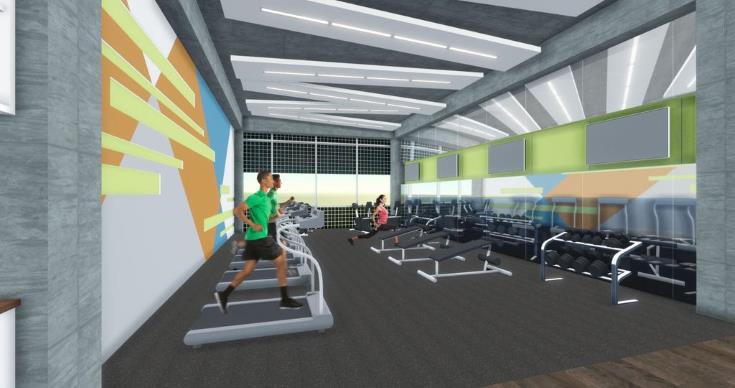
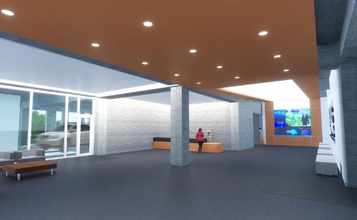
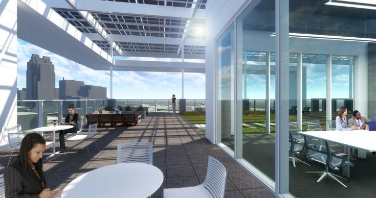
I may take some time to understand the requests and get into them in the comments but for now, I want to share the information being presented as well as the included renderings.
From AAD-005-17:
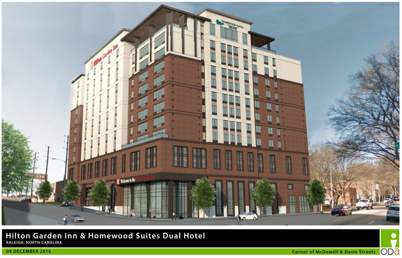
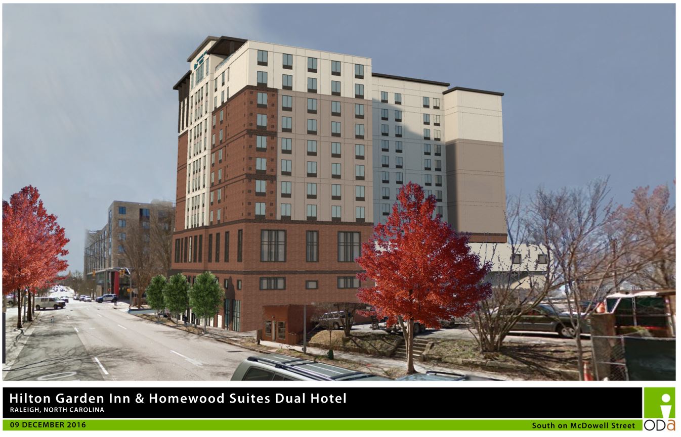
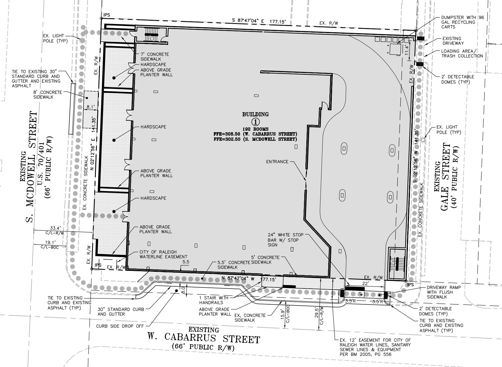
The proposed Hilton Dual Brand Hotel at the corner of West Davies and South McDowell streets is a dual branded hotel with shared lobby and facilities. The hotel has a total of 259 guest rooms (Garden in has 136 rooms, Homewood Suites has 123 rooms). The parking garage provides 139 spaces (including 4 regular H/C and 1 H/C van spaces) The building has 260,890 gross square feet over 13 floors.
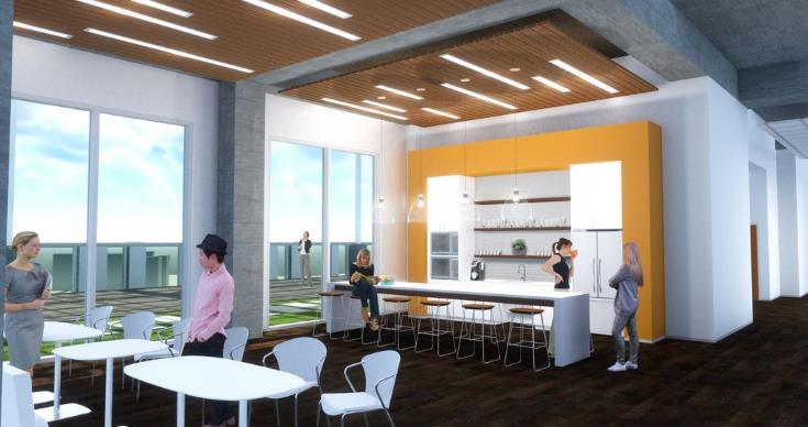
The lobby and public functions are at the ground floor and much of the second floor. The front of the second floor interfaces with the Lobby, with the support spaces internal to the building mass. The garage entrance is at the west, upper portion of Davie Street, leads to the back of the second floor and feeds the garage floors on the 3rd and 4th levels. The 5th-14th floors are the guestroom floors that are split between the brands; Hilton Garden Inn and Hilton Homewood Suites. The 14th floor also has a restaurant with two large patio areas open to the public. The north patio area terminates at an unoccupiable vegetative roof.
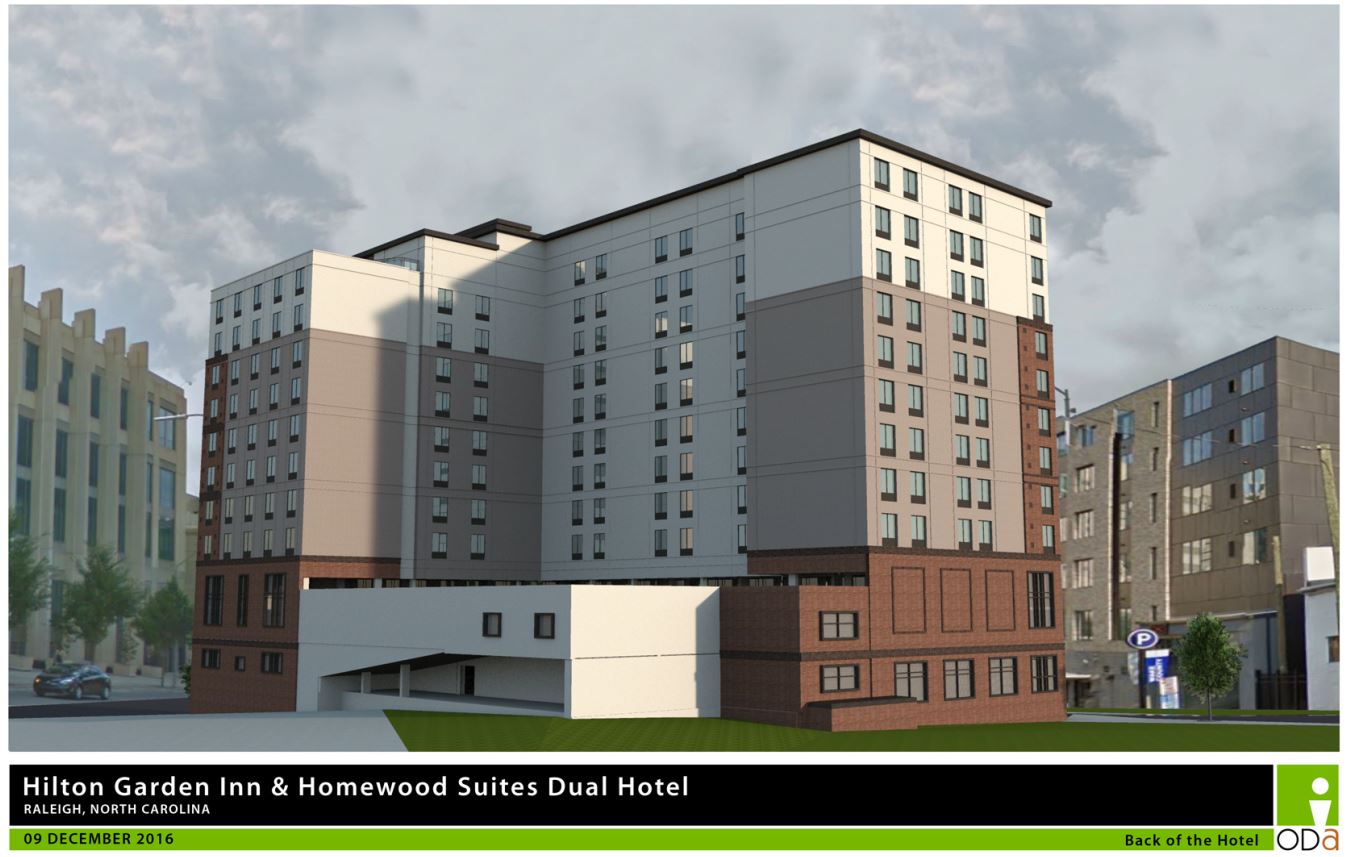
Through material use and detailing, the building’s base is articulated in stone and extends the base in brick to the 5 th floor cornice. This lower base section uses larger scale geometry to express solidity of the building. Above the 5 th floor cornice, the middle of the building expresses fenestrated massing in EIFS with varied depth planes and molding profiles. The building corners continue in brick to the 10 th floor, visually framing and anchoring the EIFS body of the building. The corner of the building over the main entrance also steps back at this point giving deference to the street. The upper three floors over the brick corners terminate lower that the EIFS body of the building. The 14 th floor at the street corner and McDowell Street steps back into a patio, giving depth and articulates the roof line so it does not appear as a monolithic mass.
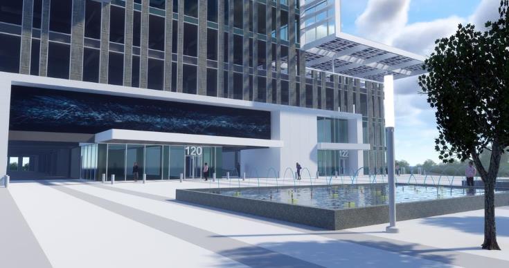
The two story entrance lobby insets at the corner on both street elevations for a significant width, offering an unobstructed view through curtainwall glazing into the lobby, bar and restaurant. The second floor public functions are open to the two story lobby. The areas west (on Davies Street) and north (on McDowell Street) also have two story windows that partially screen the interior from exterior at the restaurant (Davies St) and the pool deck (McDowell).
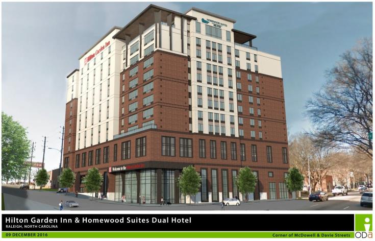
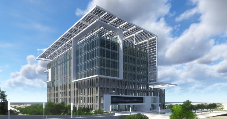
Corner of McDowell and Davie Streets. Click for larger
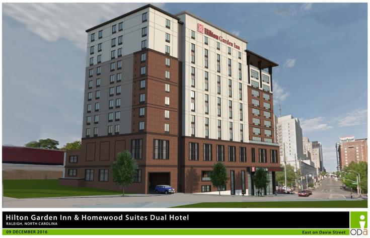
View from Davie Street. Click for larger
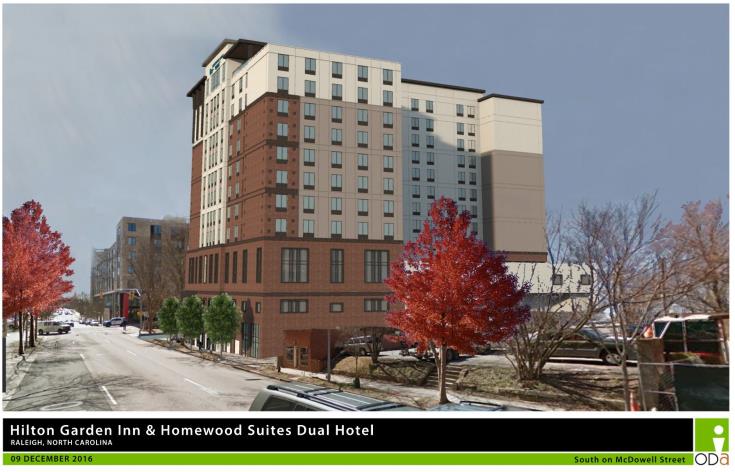
View from McDowell Street. Click for larger

Back of the building. Click for larger
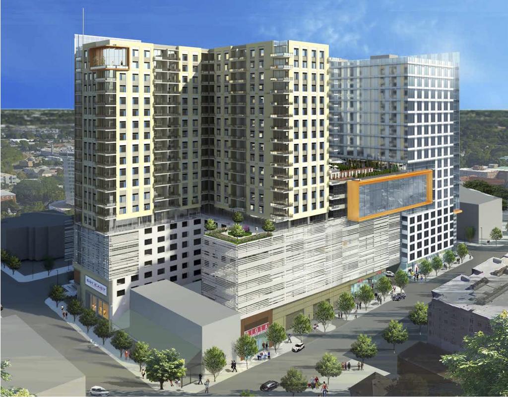
Sad to see the more glassy version of this project, shown here in this May 2015 post, go away.
IF you want to get in to the details including floor plans, take a look at the AAD document.
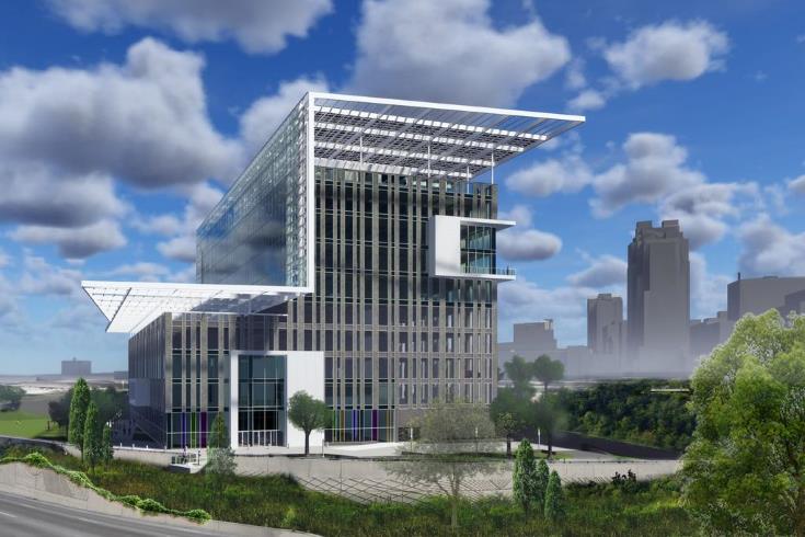
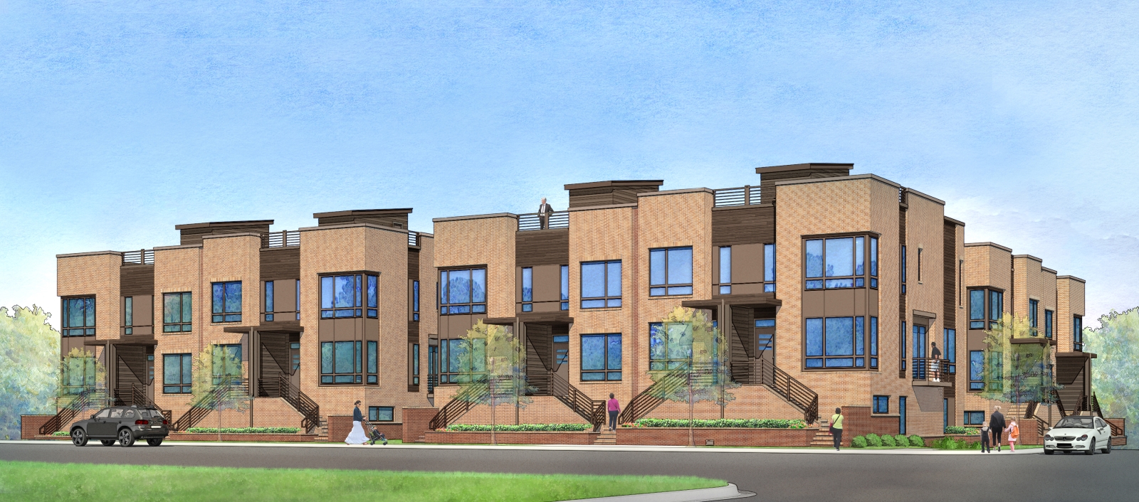
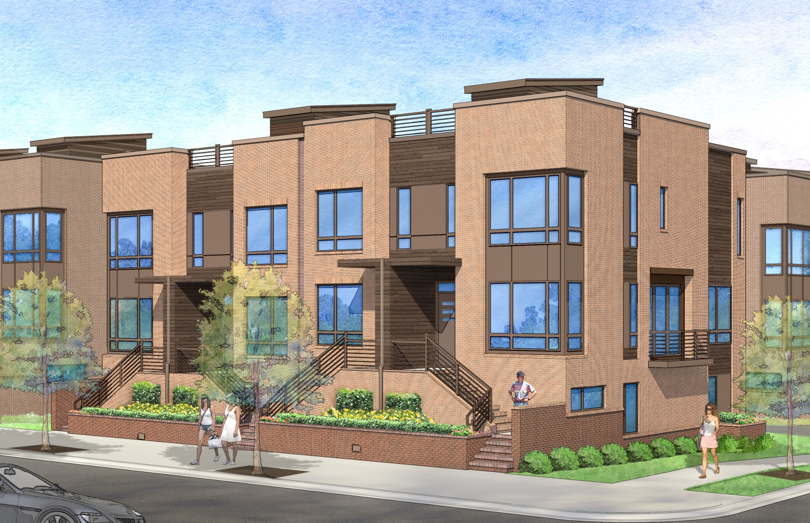
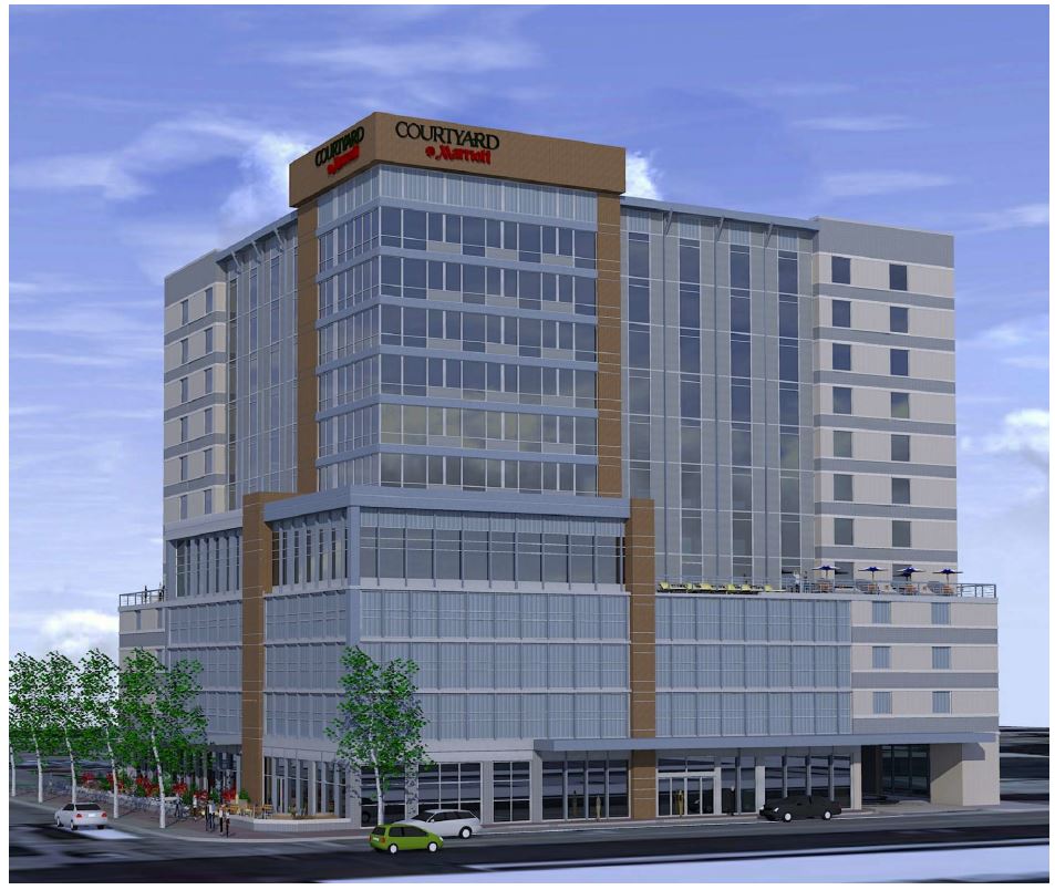
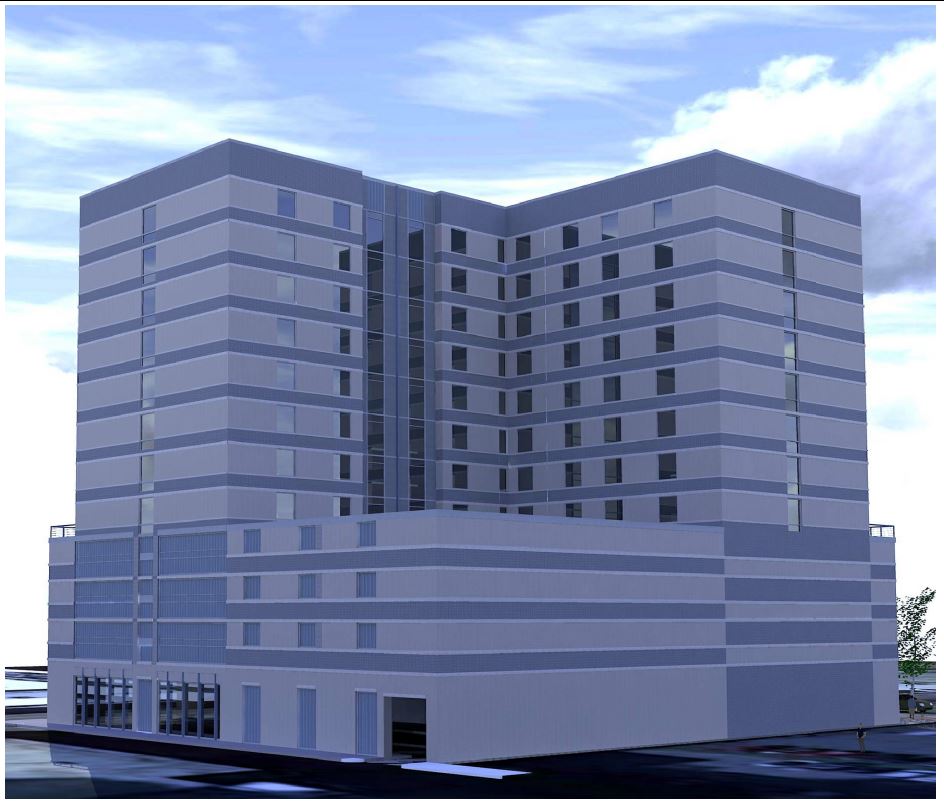
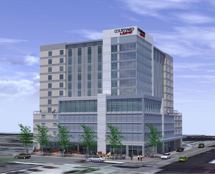
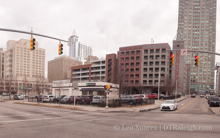
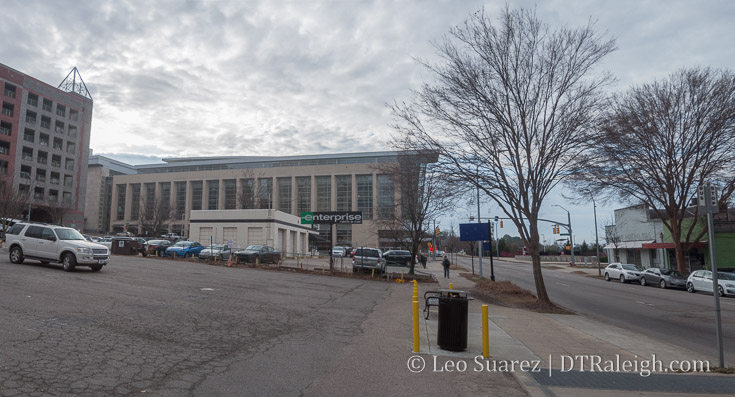
Next, let’s take a look at AAD-003-17, referring to the Courtyard Marriott for McDowell Street. Only renderings with this one. As discussed in a recent post about this project, these may be slightly out-of-date, specifically that brown-brick “hat and drapes” shown below.
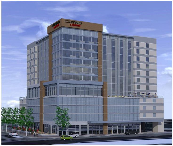
Corner of McDowell and Cabarrus Streets. Click for larger
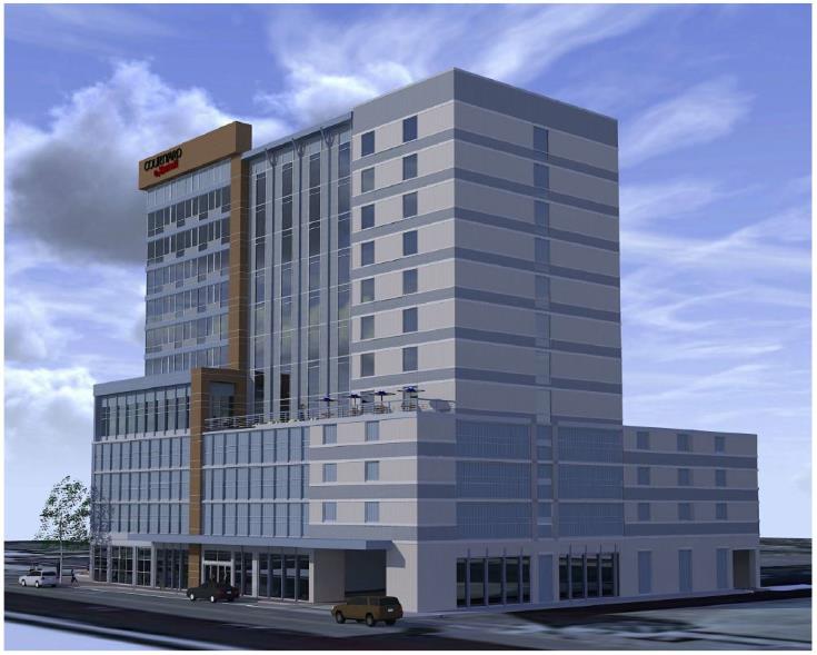
Looking east down Cabarrus Street. Click for larger

Back of the building on Gale Street. Click for larger