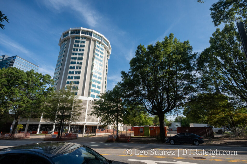
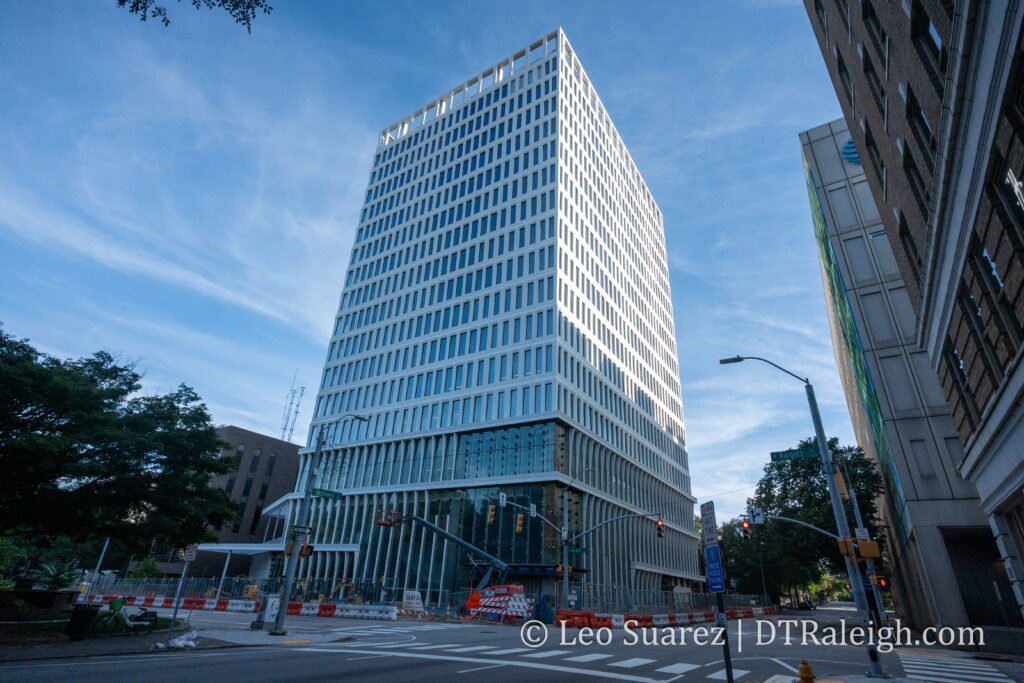
North Carolina Freedom Park is now open and it certainly looks like a stunning space. The one-acre park at the corner of Lane and Wilmington Streets is dedicated to the African American struggle for freedom. I am so impressed by what the architects, and everyone behind the project, have delivered here. It’s great to see this close to our museums as well as state government buildings.
All throughout the cities of North Carolina and South Carolina, the development boom times have really kicked in within the last few decades. In most cases, this new growth in the South has led to car-centric development where driving a vehicle is almost required to navigate your city. For those able to drive safely, this has become part of Southern culture. However, not everyone can or wants to drive for their daily tasks. Our sidewalk networks, when present, pick up the slack here. For pedestrians with mobility challenges, high-quality sidewalks are a necessity.
Navigating along a safe route from one location to another without a car can be a challenge in some Southern cities. Now imagine being a wheelchair user or having vision impairments. It is now even more difficult, most likely very unsafe. This is where open data and the all-volunteer group Code for the Carolinas is trying to help.
Inspired by the ongoing work being done in Seattle, Washington by the Taskar Center for Accessible Technology at the University of Washington, Code for the Carolinas has created an Open Sidewalks project. The project aims to map sidewalks, crosswalks, and other pedestrian infrastructure that can be used in a mapping application to provide accessible friendly route plans. Just like car drivers have GPS directions, why can’t pedestrians of all mobility levels have the technology in order to navigate our cities? That is the main goal this group hopes to implement in a number of cities across the Carolinas.
An example of what’s out there already, and how open data plays a role, is the application called Access Map. (see link below) The application offers route planning from one location to another along sidewalks and gives the user the ability to select a route that is more suited for someone with a cane or in a wheelchair. For example, in Seattle, the hills offer quite a challenge to a user in a wheelchair, so the most direct route may not be the best. The Access Map may recommend a slightly longer route with fewer elevation changes.
A crosswalk in downtown Raleigh with tactile pavers
While Access Map is open source and can be installed today, the use of the app is only as good as the data it has to work with. This is where the Open Sidewalks group steps in and is currently mapping sidewalks surrounding the Moore Square transit hub in Downtown Raleigh. The group hosts online mapping meetups to teach volunteers how to add points and lines on Open Street Maps, the current repository for open sidewalk data. With an abundance of street imagery, mappers can add data about anywhere, from anywhere. The group has also hosted in-person walking meetups to get some eyes-on experience with our sidewalk infrastructure before adding it to Open Street Maps. They hope to expand their mapping to cities throughout North Carolina and South Carolina.
As the group enriches the sidewalk dataset, it makes the Access Map more useful. The group hopes to partner with a local group that will host an Access Map and get it in the hands of end users.
The group is all volunteer driven and meets regularly, with opportunities for new joiners multiple times per month. You can join them on Slack or follow them on Meetup.
[Quick note, most of the photos here were taken on a weekday morning. I was trying to beat the heat plus it’s been a busy summer for me. I mention this because I typically try and get photos with people in it as that is more interesting than the opposite but sometimes you can’t help when inspiration strikes, am I right?]
Announced back in July of this year, the Downtown Raleigh Alliance (DRA) and the city have partnered with a few consultants to create a plan for Downtown as the last few years have seen unanticipated changes. The largest of those being the uptick in remote and hybrid work and how downtown businesses were reliant on a certain number of workers coming to the office and frequenting them for lunch and goods. It is also a great time for a new plan as the previous downtown plan was implemented in 2015 and plenty of policies and recommendations from that one have already been put in place.
It was considered a pilot program at first but I think it is safe to say we’re official now. Sip n’ Stroll is ready for prime time as new signs have been installed around downtown Raleigh. The social district, which allows people to drink beer and wine throughout certain areas of downtown, has been around for a year now but this August, enhancements to the district have been put in place.
Have you seen, or even used, the new skate park along Capital Boulevard? The new Conlon Family Skate Park has been set up near Capital Boulevard and Dortch Streets. You can spot riders and skaters at all times of the day from what I have seen.
Above is an artist’s rendering of a new project, already under construction, at the corner of Bloodworth and Cabarrus Streets. The Raleigh Architecture Company has designed ten homes here and the sales website claims that they are net-zero energy homes.
Block A at Seaboard Station has really taken shape and I think once that final floor there is completed, the crane will come down. That’ll probably be before the end of the year if I had to bet. Pictured above is the latest project which includes a hotel (on the left) and apartments. (on the right)
Have you been by the North Carolina Capitol lately? The classic looking blue dome (although I sometimes think it’s green at certain times of the day) is being replaced right now with new copper panels. That’s just one of a few other renovations that are coming to our modest, yet architecturally significant, capitol building.