We’re in a lull when it comes to transit news in downtown Raleigh. It feels like the plans are made but the funding of a half-cent sales tax increase to go towards transit improvements is stuck at the county level.
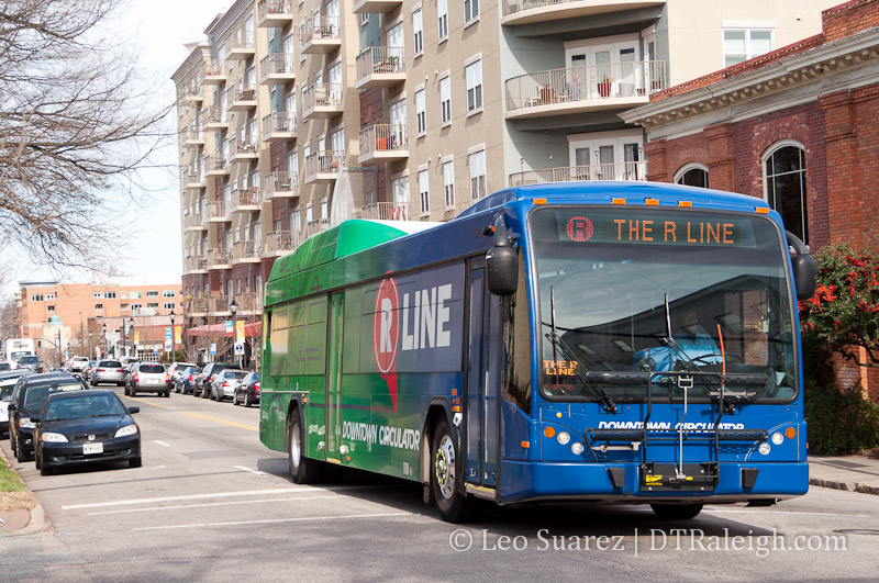
While politicians on the County Commission continue to debate the possible tax increase, one of the most successful transit stories in Raleigh recently has been the R-Line. This fare-less service that circles downtown has been increasing its ridership every year since it was launched in 2009.
So it’s only natural that others around Raleigh want to get in on the great service.
I recently heard of the Midtown Raleigh Alliance’s (MRA) idea of pitching a service called the M-Line, a bus circulator between midtown Raleigh and downtown Raleigh. There’s not much behind this idea really, just talk and a blog post. [UPDATE: Broken link]
Either way, let’s speculate and see if this idea is at all feasible.
According to the MRA, midtown Raleigh is the “area within a 2-mile radius surrounding North Hills.” The about page on their website claims the area has a “Distinctive skyline and 24/7 walkable urban center.”
Whether that’s actually true or not, the most likely place for the M-Line to arrive and depart would be from a spot in North Hills, the most urban area in midtown.
A park and ride situation could work but with parking so plentiful in downtown, once people are in their cars then it’s likely they will just go straight to downtown rather than transfer to a bus.
Using Google Maps, the quickest way from North Hills, the Renaissance Hotel to be more specific, to downtown, the state Capitol, is along Lassiter Mill Road, St. Mary’s Street, and Glenwood Avenue. Google also estimates the trip to take 13 minutes.
The trip could take longer if the route is changed to make more stops around midtown. So to keep the numbers easy, let’s say the trip takes 15 minutes. With one bus running the route, a round-trip takes 30 minutes with an average wait time of 15 minutes.
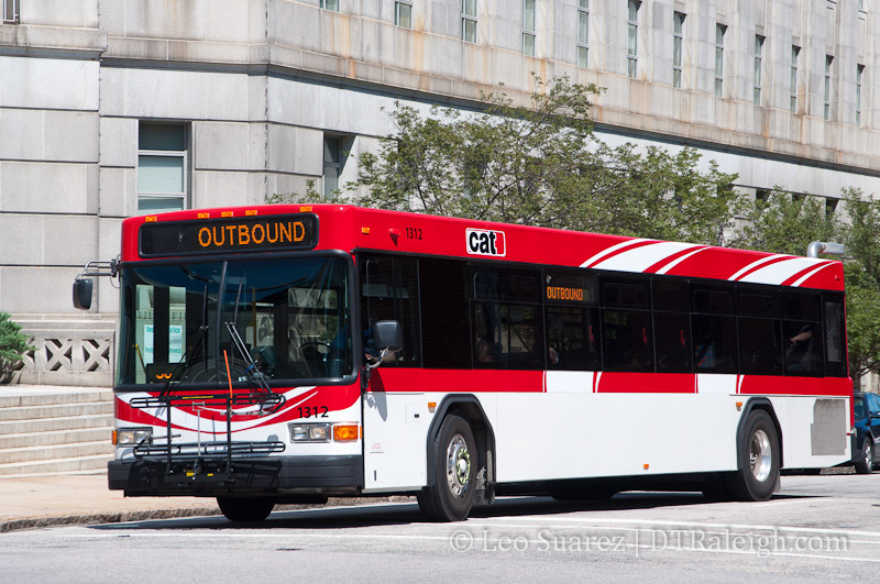
Compared to CAT
If there is a truly interest in an M-Line, this again shows citizen support for transit and perhaps readiness for this area to increase transit effectiveness.
Capital Area Transit’s Route 8 – Northclift is the closest route that goes from downtown to midtown. It’s similar to the route suggested by Google Maps. Route 8 starts at the Moore Square bus station and goes through downtown, north on St. Mary’s and Lassiter Mill Road to North Hills.
The current operating schedule of Route 8 is:
- 5:55 AM to 8:52 PM | Monday – Friday
- 7:00 AM to 8:12 PM | Saturday
The route has frequencies of 30 minutes during rush hour and an hour outside and on Saturday. That makes wait times of being 15 minutes on average during rush hour and 30 minutes outside.
With a similar route already being offered by CAT, supporters of an M-Line have quite a bit of work to do in order to justify it.
Just like my post back in July 2011 about the petition to expand the R-Line to Cameron Village, this is an example where adding another bus circulator would provide redundant service to the current CAT system.
If anything, M-Line supporters should be interested in taking what money that could be put towards this new line and into making Route 8 much more effective through greater frequency and expanded operating schedules.