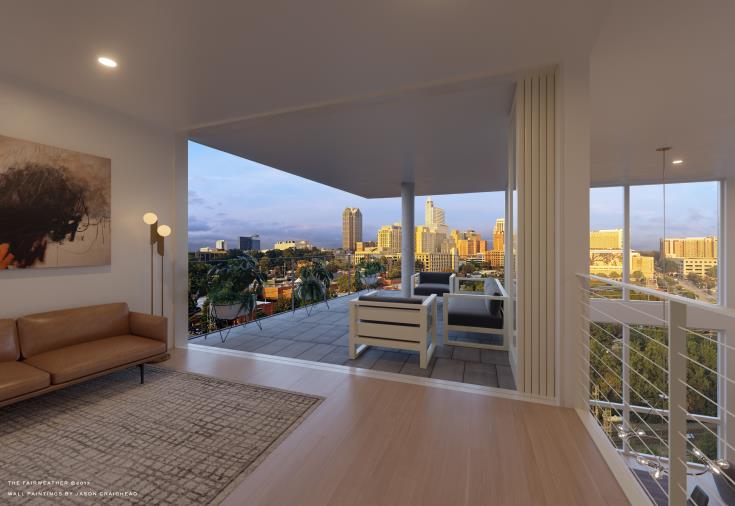
Rendering courtesy of Monarch Realty
A project that I highlighted here on the blog back in November 2016 is now in the presale phase. The Fairweather will be a five-story condo building with 45 total units. The location is in between downtown Raleigh and the future Dix Park. See it on Google maps here.
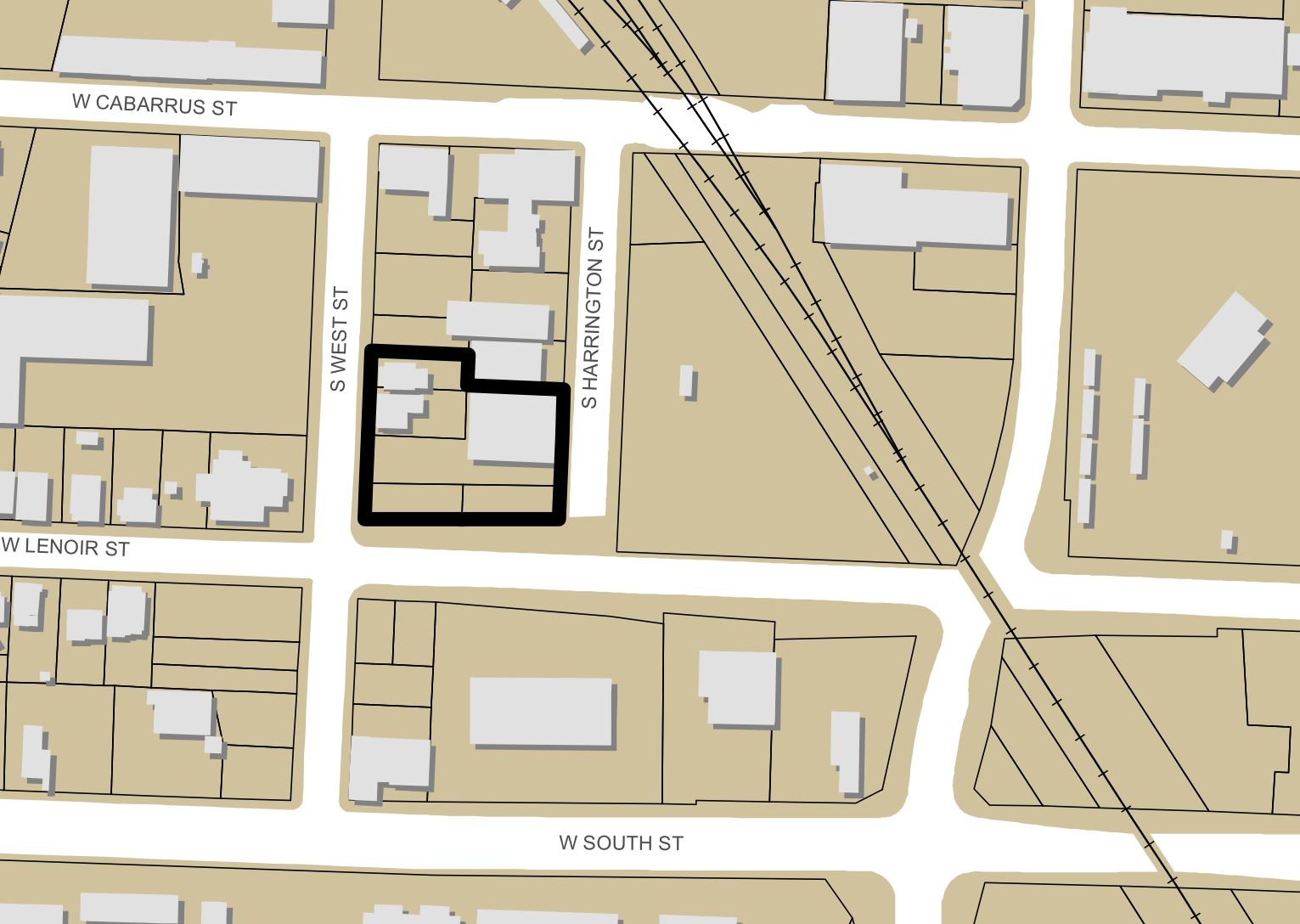
Location of The Fairweather according to its site plan.
From the press release:
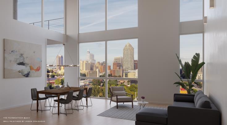
Slated to open in early 2019, The Fairweather features five stories with approximately 45 units, ranging from 838 to 2,645 square feet. The first four floors showcase one, two and three bedroom units starting in the upper $300s to the $600s, while the fifth floor offers penthouse suites for $700 to $1 million. Located at the corner of S. Harrington, Lenoir and S. West streets, The Fairweather sits on a hilltop that affords owners views in every direction of Raleigh’s skyline. The development also offers immediate walking distance to landmarks, such as Dorothea Dix Park, the new Raleigh Union Station and the Warehouse District’s upscale restaurants.
Rendering courtesy of Monarch Realty
New-construction condos haven’t been seen in downtown Raleigh in awhile so it may make sense that high-end units come first. I’ve been told this will be somewhat of a more distinctive building compared to what we’ve been used to in the apartment scene.
The exterior renderings will be most interesting to see.
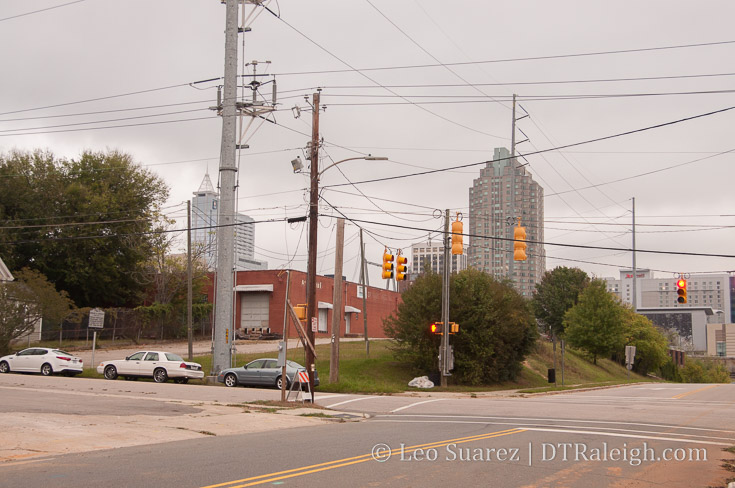
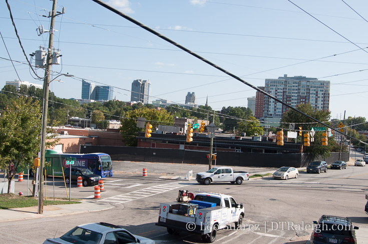
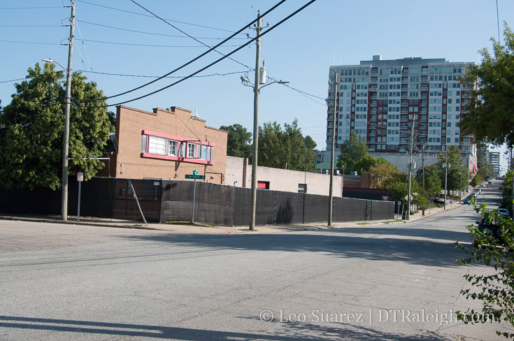
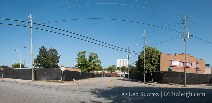
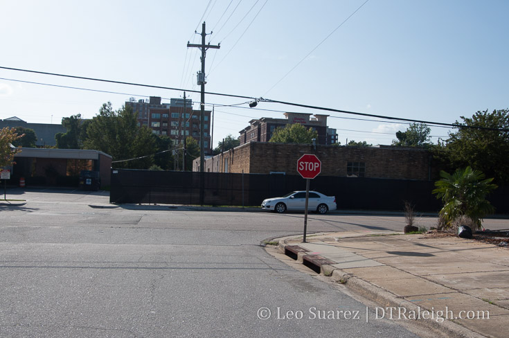
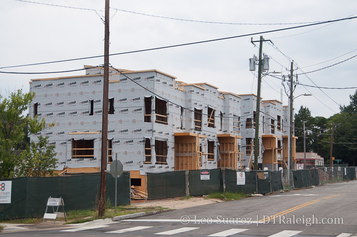
Corner of West and Lenoir Street, October 2017