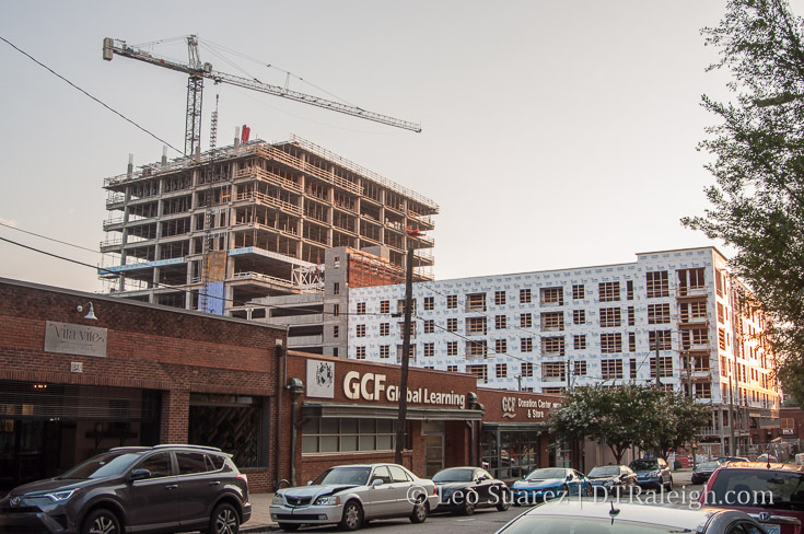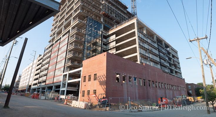
It hit me recently during a conversation in a downtown coffee shop that The Metropolitan apartments would have seen residents moving in this month. If you don’t know the history, the project, while under construction, met an unfortunate fate and went up in flames in March of this year.
The developers plan to rebuild and the site is currently being cleared.
If it wasn’t for the fire delaying the delivery of The Metropolitan, we could easily see the end to the multi-unit, mid-rise apartment product line in downtown Raleigh. At least for the foreseeable future.
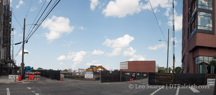
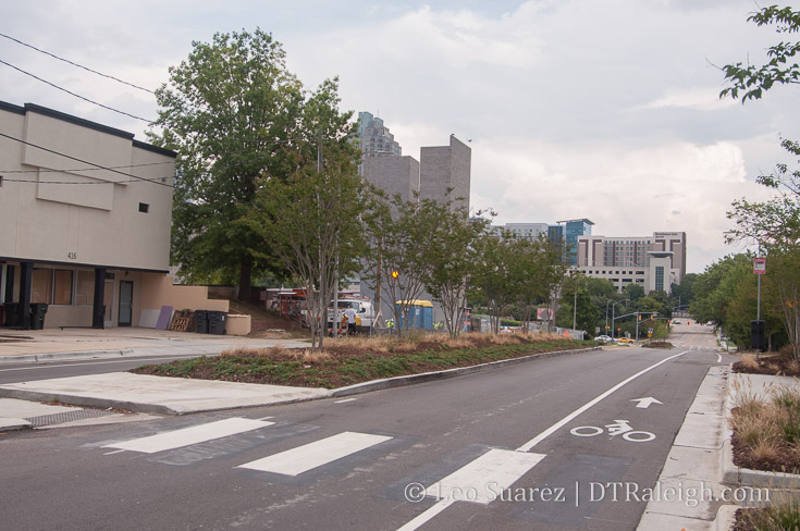
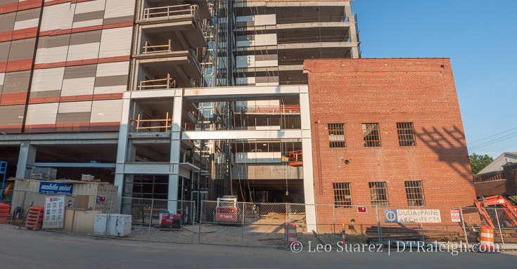
Site of The Metropolitan Apartments fire site
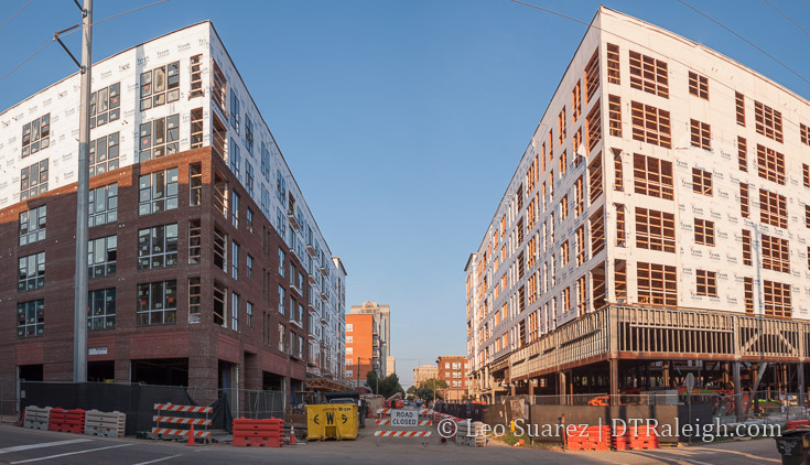
Barring any new project announcements, the apartment pipeline would have ended with The Dillon opening in 2018. Taking a look at the latest list of projects released by the Downtown Raleigh Alliance, we can see that there are no planned projects similar to these.
To be clear, I’m referring to the 5-7 story, wood-construction buildings with a larger footprint. Typically to make these work, developers have had to acquire multiple properties and combine them.
That’s not to say the residential projects aren’t flowing. The product is just changing.
Smokey Hollow plans to bring 445 residential units in a 12-story building on Peace Street. FNB Tower will mix up office and 247 residential units across 22 stories. 400H will also mix office and 220 units in a 20-story building. Details are still light on 301 Hillsborough but with a similar style to the other projects there’s no reason to guess that more residential units could be included.
That’s 900 units across three projects right there.

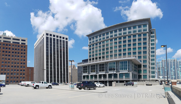
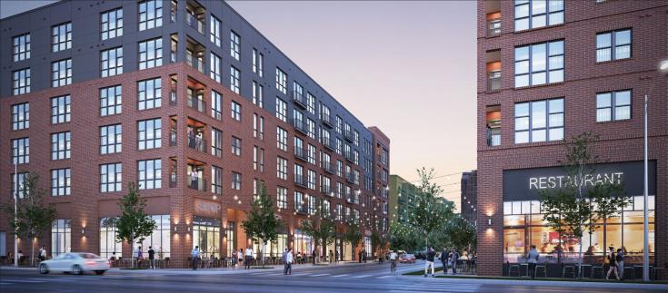
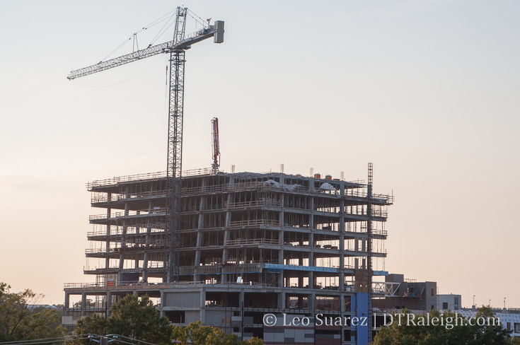
Most recent rendering of 400H
The other side of the picture is the rise in townhome projects. These are adding infill to the periphery of downtown. Currently under construction, we have:
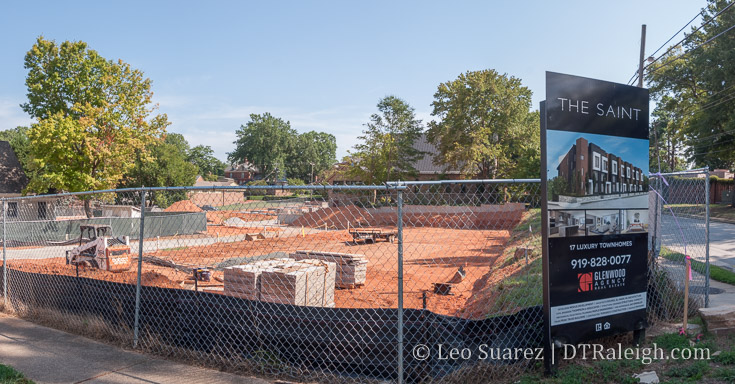
- The Saint – 17 units
- Hargett Place – 19 units
- 10 Arros – 10 units
- West + Lenoir – 12 units
- 611 West South – 42 units
- The Ware – 15 units
115 townhomes are in the works and more are in the planning stages.
Perhaps we’re at a point where combining multiple parcels for large footprint developments isn’t economically feasible for mid-rise buildings. There could be other changes in the market that are affecting this. Downtown could also be much more livable than before, enticing buyers to purchase units than rent.
Maybe there is a hold on projects as plans for a downtown soccer stadium and big infrastructure changes to Capital Boulevard need to pan out for developers to pitch new projects.
You could look at it from a lot of angles. It’s certainly a great topic to discuss.