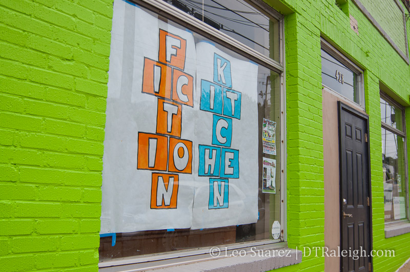
Municipography is a summary of current issues going through the Raleigh City Council and other municipal departments in the city. The point is to try to deliver any video, photos, and text associated with the discussions happening at City Hall or elsewhere. Since this is a downtown Raleigh blog, the focus is on the center of the city.
I recommend email readers click through to the website to see the embedded video.
At the Raleigh City Council meeting on September 4, 2012, the council discussed funding for the Union Station project as well as approved some changes at the Moore Square Bus Station that will effect the R-Line.
Union Station
During the meeting, council discussed a future commitment of $3 million towards the Union Station project. Comments were generally positive about the station and it really feels that Raleigh and NCDOT want this project to succeed. With a 6-1 vote, the council approved the additional funds.
The city also approved the allocation of funds towards development of a schematic design for the project.
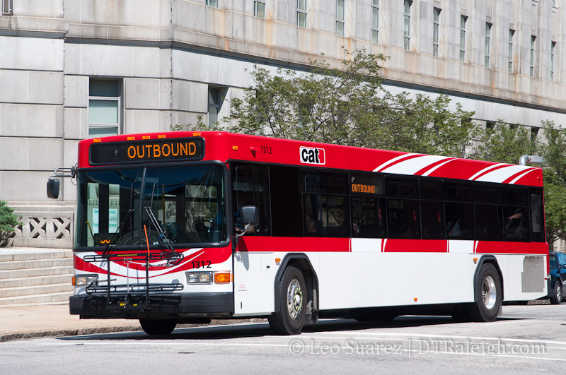
Bus Traffic at Moore Square Station
We haven’t talked about it on this blog before but there have been grumblings about the bus and pedestrian traffic along Wilmington Street and the effect it has on nearby businesses. To catch readers up, I’ll point you to a few articles from the local news media:
Business owners and residents in the Moore Square area met with the City of Raleigh on Tuesday, trying to come up with ways to address loitering, panhandling and bus congestion in the Moore Square District.
*Downtown Raleigh residents decry loitering, panhandling, ‘riff-raff’
Business owners say the crowds, coupled with bus congestion along the street, create an uninviting atmosphere for customers.
*New merchants chafe at crowds from Moore Square bus terminal
Here’s an alternative viewpoint from Barry Saunders at the N&O.
Here’s my advice to the business owners who are so dismayed that a city’s downtown transit center has people occupying various rungs of the social ladder: go out and meet them and talk to them. You may find that they are just like you, except they don’t have a car.
*Saunders: Respect needed among Moore Square’s old and new
Now that you are caught up, at the city council meeting this week, the recommendations from the Law and Public Safety Committee were unanimously approved. Those include:
- Expand the bus zone on Wilmington Street to relieve bus congestion.
- Move the R-16 Moore Square Deck station south of Martin Street.
- The R-Line will now always run along the nighttime route that rounds Moore Square.
- Immediate upgrades to the Moore Square Station including better pedestrian access, lighting, and safety upgrades.
While this may or may not solve the bus traffic issue on Wilmington Street, the R-Line may be the victim. R-Line riders could potentially experience added wait time as the bus will always make the trip around Moore Square rather than driving straight up Wilmington Street during the daytime operating hours. However, this may be a temporary solution until the Moore Square Bus Station is significantly upgraded for more bus capacity.