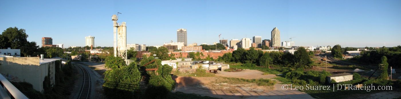
Vicissitudes of the Oak City is a series taking a look at past development plans in downtown Raleigh that left behind details we can still see today. The things we plan don’t always turn out the way we thought they would and each story results from some external factor that changed things for the better or worse.
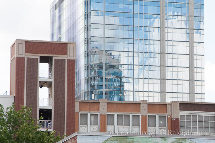
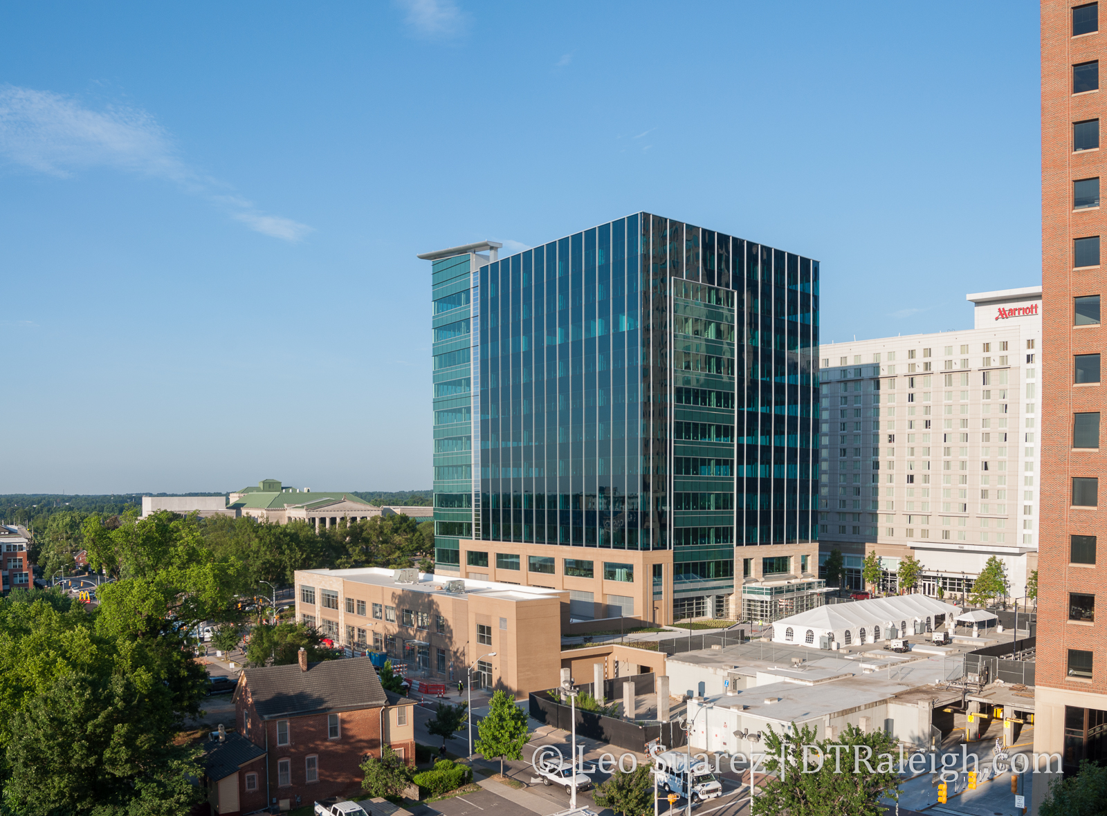
Blount Street Parking deck, Blount Street side
This is the first in a new series I’m creating called Vicissitudes of the Oak City. Rather than a traditional history lesson, I want to write about past plans for downtown Raleigh that faced a sudden change, for the positive or negative. What I enjoy about these is that we can see evidence of the changes all around us yet we may never even notice them.
For the inaugural post, I want to highlight a detail that we can see on The Edison block, something I’ve been staring at for years.
The development of what has been called The Edison has been going back for almost ten years now. This block, currently consisting of the Skyhouse Apartments and Edison Lofts, had plans for much larger and grander buildings but the great recession of 2008 changed everything.
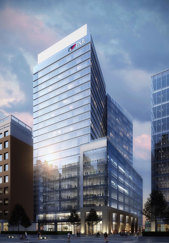
With permission, I’m posting a rendering of The Edison as it was seen through the eyes of 2007.
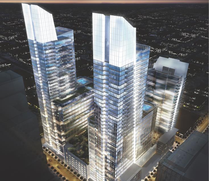
2007 Rendering of The Edison, Raleigh NC. JDavis Architects. Click for larger.
With a pair of 40+ story towers and two 20+ story towers, downtown Raleigh in 2007 was certainly exciting for development fans. The towers never came but the parking deck was completed. (shown in between the towers of the rendering above)
While talks of The Edison were taking place, a nearby tower was close to opening. The RBC Plaza, now PNC Plaza, opened in 2008 and the Blount Street parking deck, located on The Edison block, was used as additional parking for the office space in PNC.
If you stare up at the parking deck, the stairwells along Wilmington and Blount Street contain an extra floor.
A floor to nowhere.
You can see it on the Blount Street side, photo above, and the Wilmington Street side, photo below.
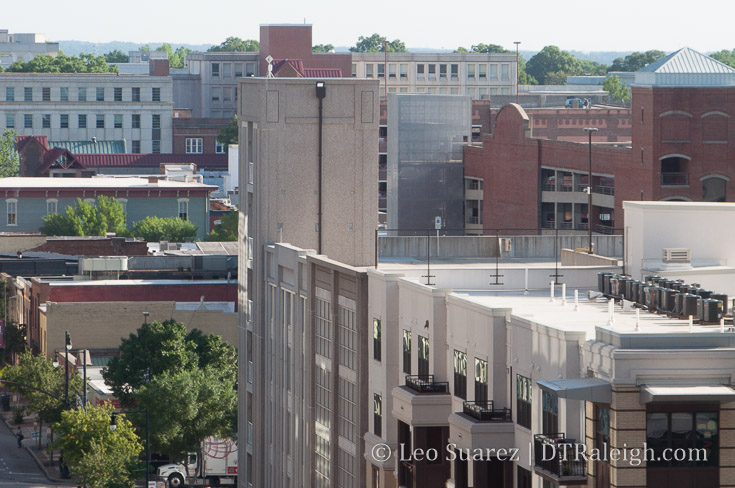
Blount Street Parking deck, Wilmington Street side
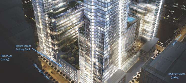
The stairwells were built that way for a rooftop park that was never built. As part of the original Edison plans, an “amenity level” was planned for the top of the parking deck allowing patrons from the towers as well as the public to use the open space.
You can see it in this zoomed in, annotated portion of the original Edison rendering.
As mentioned earlier, the great recession changed everything and housing as it is today is not the same as it was before then. This lead the team behind it, as well as all other downtown Raleigh projects, to rethink development.
Could a rooftop park ever be built on top of that parking deck one day? I don’t see why not but there are no plans for that at this time.
I can’t help but think that the deck has potential, sitting there in some unfinished state. Economics may never get us there and with a nearby Dix park planned, green space is probably not hurting for downtown.
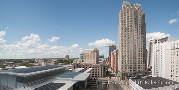
I still can’t help but get lost in thinking about something so unique for downtown Raleigh like a rooftop park with skyscraper glass views in almost all directions.
While the Blount Street Parking deck is still accessible to the public today* (7am-7pm) I encourage anyone to take the elevator to the top floor and imagine stepping out to trees, gardens, and people rather than sleeping vehicles baking in the sun.
*According to current plans, once The Edison office tower is open (no outlook at this time), planned for the corner of Wilmington and Martin Streets, the public parking spaces will be allocated to support that tower and the deck will be for private use 24/7.

