EnviroCon: AIA Creating New Headquarters Downtown

The American Institute of Architects, NC chapter, just wrapped up a design competition for their new headquarters to be located in downtown Raleigh. They are currently located in the old water tower on Morgan St. but will move in 2010 to their new location in Blount Street Commons.

View Larger Map

NewRaleigh has all the details about the competition and awards ceremony that took place last week. The N&O also has an article that talks about the building and its green, enviro-friendly features:

North Carolina’s architects hope to break ground this year on a headquarters in downtown Raleigh.

And naturally, being architects and all, they want to make a statement. In this case, a “welcome to the 21st century, carbon-neutral, energy-efficient, deep green” statement.

Initial sketches suggest plenty of windows to let in light and an overhanging roofline to shield the building from the sun.

A geothermal energy system, considered the most efficient way to heat and cool a building, will keep things comfortable inside, Frank Harmon said.

The goal is to create a building that uses at least 55 percent less energy than traditional styles when it opens in 2010.

Harmon thinks his company can easily meet that goal, along with the ultimate standard: creating a building that uses no energy derived from fossil fuels by 2030.

The efficiency goals that the AIA have set are bold and I support it 100%. I wish them luck in reaching them.

Click here for some renderings of the design.

Metro Beats Its Way Into City Market

Metro Café and Lounge had their opening party Friday night and will be adding a new beat to City Market. I went over on Saturday and became an instant fan when I walked in. The owner, Mauro, has set up a hip and comfortable lounge that is perfect for a glass of wine or a casual cocktail. You can take a seat at the bar, grab a table or relax on some of the couches. Metro will play house music during its parties and on some weekends host fashion shows, wine tastings, and other local events. If you are craving something outside of the beer realm, make sure to give Metro a try for a coffee or a good wine. For all you First Friday-ers, make a stop at Metro this week and check it out.

View Larger Map

Planning Raleigh 2030

The City of Raleigh has launched a new website, www.planningraleigh2030.com. Since news is slow I wanted to highlight this link and let you browse the many documents to see if you can find anything interesting. According to the timeline we should have an adopted plan approved sometime around May 2009. Here are a couple of interesting points I noticed after maybe five minutes of browsing:

  • “Raleigh is nationally recognized as a model green city”. I do not at all agree with this statement. Yes, we are heading in the right direction but far from being the model that other cities should look upon. I’m a big supporter of the LED replacement initiative taking place across the city. This may be an act to follow, but the city as a whole, still has some work to do.
  • Looking at the growth maps across Raleigh, it seems that the fringes of the city are the areas where the most growth is occurring. I believe this trend needs to slow down and annexing more land and connecting the cities with more highways is the wrong way to approach things. We do not need to consume more, but create efficiency with what we already have.
  • Raleigh’s population as of July 1, 2007 was 367,995.
  • The central district population has 20,664 people, the 3rd lowest district in Raleigh, after The Umstead and East districts.
  • We are hovering between 3.3% and 4.1% annual growth over the last 3 years.

Of course, the stats may not really show anything. The planning districts are not the same size and those in north Raleigh are significantly larger then the ones downtown and around NC State. But should that matter since a city’s downtown is generally the densest area?

What I’m really interested in is a map with job density and traffic patterns around the city. That could really help us see where the upgrades to our transit system should go.

One-way Street Madness

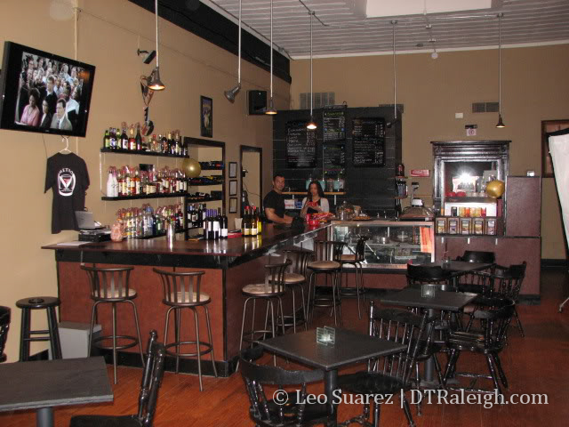
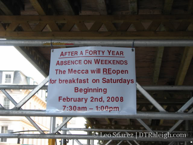
It is a Raleigh tradition to drive downtown and lose your way at least once in your lifetime. I still remember a drive downtown many years ago. I was trying to find
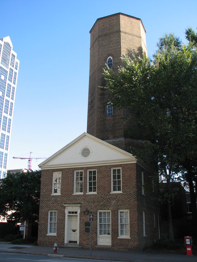
 the Lincoln Theatre, not knowing that east and west Cabarrus Streets do not actually join. When I did realize this, I still had trouble getting over to the west side when on the east. I mean whose great idea was it to build One and Two Hannover where a street should be? I was just a youngling back then and now know the downtown Raleigh streets.

One of the biggest complaints I hear about downtown is how hard it is to navigate and find your way around. I honestly have not been to any city, of significant size, where the downtown area was ‘easy’ to navigate so this complaint does not quite make as much noise too me. However, downtown is changing and is trying to improve this, which is good for any visitor to the area. The plan is to change many one-way streets to a two-way design. We have already seen this occur with Martin and Hargett St. in 2006. Later this year, Lenoir and South Street will be converted as well.

The initiative for this change is outlined on the city’s Livable Streets website:

One-way pairs were at one time an innovative way to increase the traffic-carrying capacity of dense urban streets, but in the age of ring highways and major thoroughfare corridors, the need for traffic capacity on secondary downtown streets is not as great as in the mid-20th Century when most of these one-way pairs were implemented. One-way systems also increase traffic speed at the expense of pedestrian safety and also make it more difficult for the first-time visitor to navigate. Several pairs of streets are under consideration for return to two-way travel, and each will be re-designed as this change is implemented to maximize the efficiency of the street while emphasizing the comfort and convenience of the pedestrian.

Once these changes have taken place, Salisbury St. opens back up, and Fayetteville St. is finished up to Lenoir, we will have a solid street network for visitors to roam around.

I’d also like to point out a little flaw within our streets that I do not see any plans for change. What is up with the one-way to two-way to one-way fiasco on Morgan St.? It is dominantly one-way with a five block two-way stretch between St. Mary’s and Dawson St. Does anyone know how this came to be?