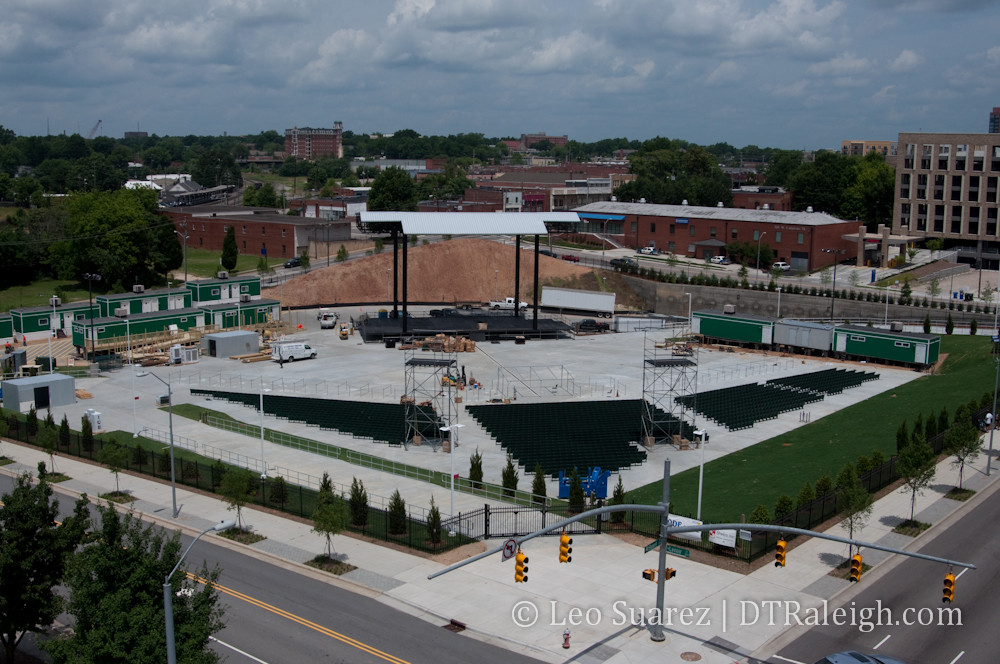
Looks like some people didn’t get to drink beer and grill out on Memorial Day. Work was being done around the Downtown Amphitheater site yesterday as the venue’s first show is only three days away. Some chairs are installed, concession stands are put up, and a few trailers are parked for what I’m guessing are restrooms. The newest entertainment option for downtown is almost ready.
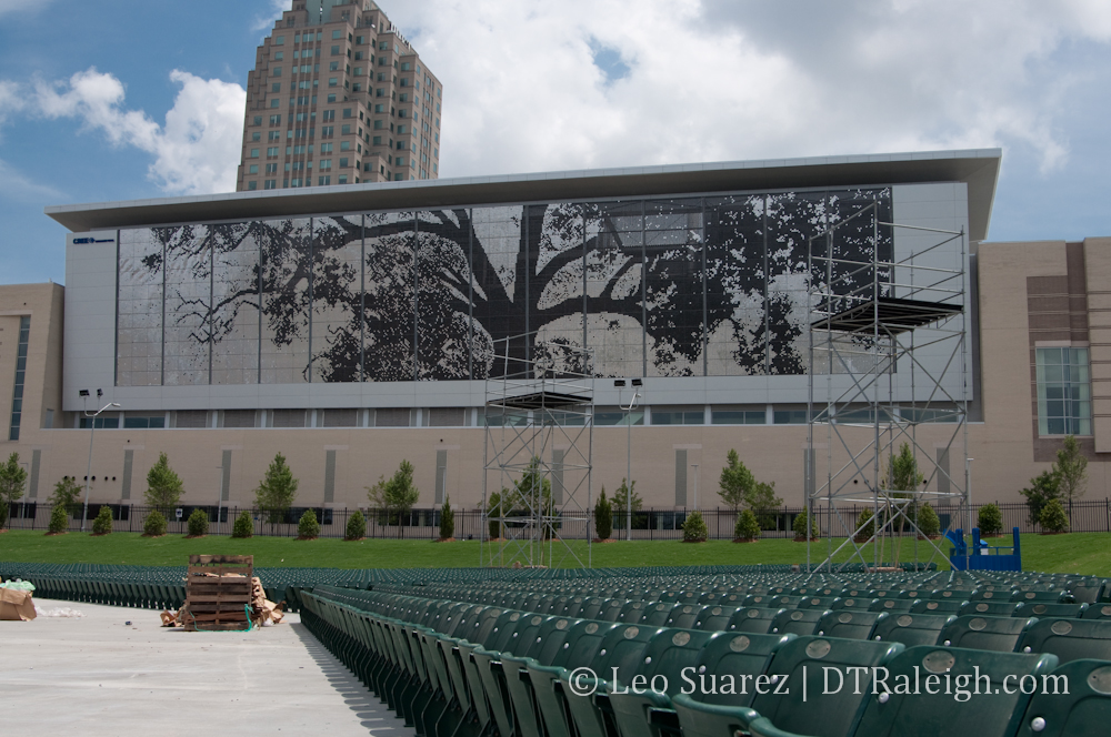
There’s really not much to say about the Downtown Amphitheater and the best word to describe it is ‘functional’. Bands have a stage to play on, patrons have places to sit, and the chairs point at the stage; nothing all too exciting. The scenery of downtown, the shimmer wall and the buildings on Fayetteville Street, could be a unique experience with live music outdoors.
The venue is easily accessible, sitting between Dawson and McDowell Streets. The sidewalks have been paved around the entire block and pedestrian connectivity is relatively easy coming from anywhere in downtown. There is also an R-Line stop on Cabarrus Street.
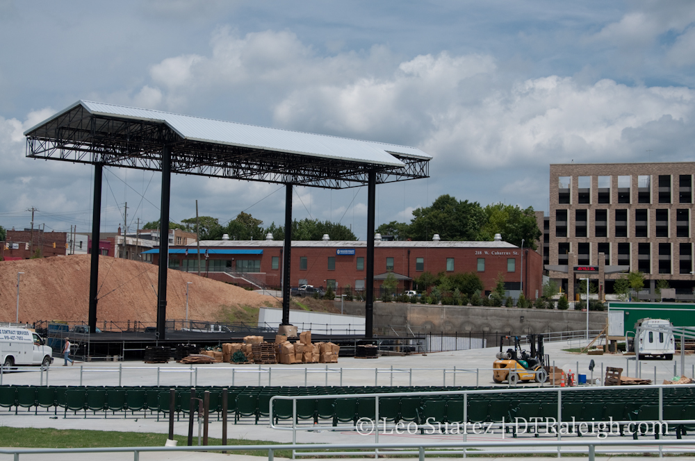
The huge pile of dirt behind the stage is a nice touch. Probably the cheapest way to block any distractions seen by those driving down Dawson Street. I’m convinced that without it, drivers would slow down and cause traffic backups during shows.
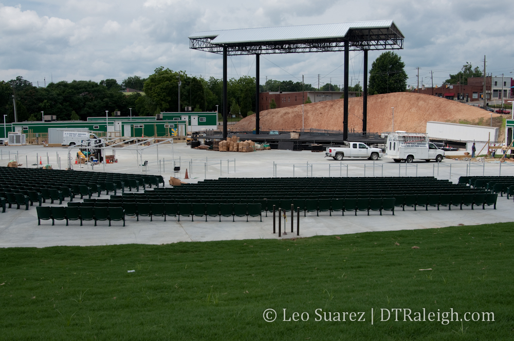
View from the grass section.
In my opinion, I don’t care what the amphitheater is called. This venue will draw crowds based on the bands on stage. Let’s not forget that once upon a time when the convention center was being built, this block was planned for future expansion space for the convention center in the future. This venue preserves that same plan, adding an easy, disposable entertainment option for when the city or some developer is ready to spend the big bucks. Enjoy it for what it is. I’ll see you there!