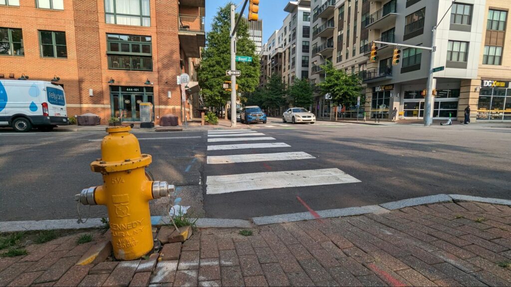
All throughout the cities of North Carolina and South Carolina, the development boom times have really kicked in within the last few decades. In most cases, this new growth in the South has led to car-centric development where driving a vehicle is almost required to navigate your city. For those able to drive safely, this has become part of Southern culture. However, not everyone can or wants to drive for their daily tasks. Our sidewalk networks, when present, pick up the slack here. For pedestrians with mobility challenges, high-quality sidewalks are a necessity.
Navigating along a safe route from one location to another without a car can be a challenge in some Southern cities. Now imagine being a wheelchair user or having vision impairments. It is now even more difficult, most likely very unsafe. This is where open data and the all-volunteer group Code for the Carolinas is trying to help.
Inspired by the ongoing work being done in Seattle, Washington by the Taskar Center for Accessible Technology at the University of Washington, Code for the Carolinas has created an Open Sidewalks project. The project aims to map sidewalks, crosswalks, and other pedestrian infrastructure that can be used in a mapping application to provide accessible friendly route plans. Just like car drivers have GPS directions, why can’t pedestrians of all mobility levels have the technology in order to navigate our cities? That is the main goal this group hopes to implement in a number of cities across the Carolinas.
An example of what’s out there already, and how open data plays a role, is the application called Access Map. (see link below) The application offers route planning from one location to another along sidewalks and gives the user the ability to select a route that is more suited for someone with a cane or in a wheelchair. For example, in Seattle, the hills offer quite a challenge to a user in a wheelchair, so the most direct route may not be the best. The Access Map may recommend a slightly longer route with fewer elevation changes.
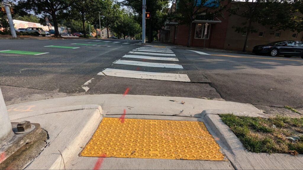
While Access Map is open source and can be installed today, the use of the app is only as good as the data it has to work with. This is where the Open Sidewalks group steps in and is currently mapping sidewalks surrounding the Moore Square transit hub in Downtown Raleigh. The group hosts online mapping meetups to teach volunteers how to add points and lines on Open Street Maps, the current repository for open sidewalk data. With an abundance of street imagery, mappers can add data about anywhere, from anywhere. The group has also hosted in-person walking meetups to get some eyes-on experience with our sidewalk infrastructure before adding it to Open Street Maps. They hope to expand their mapping to cities throughout North Carolina and South Carolina.
As the group enriches the sidewalk dataset, it makes the Access Map more useful. The group hopes to partner with a local group that will host an Access Map and get it in the hands of end users.
The group is all volunteer driven and meets regularly, with opportunities for new joiners multiple times per month. You can join them on Slack or follow them on Meetup.
Next steps if you want to join Open Sidewalks
- Join our group on Meetup.
- Say hi to our group on Slack.
- Get inspired yourself by checking out Access Map in Seattle.
More information
- Read about the Taskar Center.
- Check out Open Street Map.
- The group uses the Open Sidewalks Tasking Manager.
Comments
Comments are disabled here. That's because we're all hanging out on the DTRaleigh Community, an online forum for passionate fans of the Oak City.