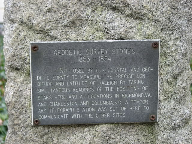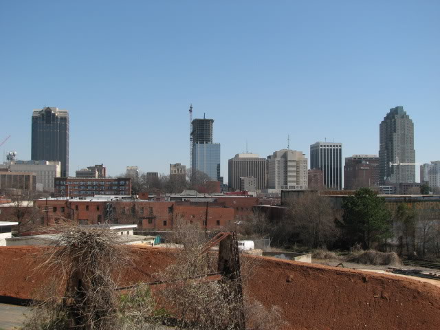
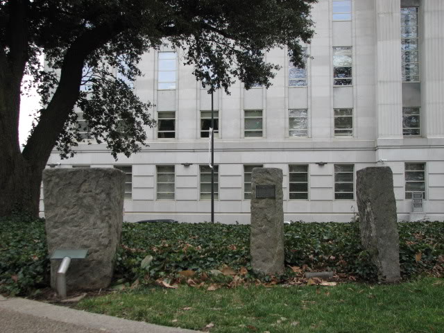
Take a look at the two pictures above. Do you see a connection maybe? If you think we need more stones, I agree with you. The stones are located on the southeast corner of Union Square, or near the corner of Wilmington and Morgan St. They were used to calculate the exact latitude and longitude of Raleigh. Here is what the plaque on this stone says:
Geodetic Survery Stones 1853-1854 Site used by U.S. Coastal and Geodetic Survey to measure the precise longitude and latitude of Raleigh by taking simultaneous readings of the positions of stars here and at locations in Richmond, VA and Charleston and Columbia S.C. A Temporary telegraph station was set up here to communicate with the other sites.
I had to look up what Geodesy was and here is the definition from dictionary.com:
the branch of applied mathematics that deals with the measurement of the shape and area of large tracts of country, the exact position of geographical points, and the curvature, shape, and dimensions of the earth.
I did a little research because I was interested in the tech used to accomplish this in the 1850’s. It turns out the telegraph was patented in 1837 by Samuel Morse, the man behind Morse code, and the following years after that, the technology was improved and used on a wider scale.
Interesting stuff. If anyone can add to this, please feel free to comment. Look for these stones next time you are walking around the Capitol.